Satellite Applications in Agriculture: Transforming Precision Farming and Resource Management

The integration of satellite technology in agriculture is revolutionizing how farmers manage crops, monitor land, and optimize resource use. With an ever-growing demand for food due to population increases, satellites play a pivotal role in making agriculture more efficient, sustainable, and resilient.
Precision Farming
Satellites provide farmers with high-resolution imagery and data that enable precision farming practices. By analyzing satellite data, farmers can identify variations in soil conditions, crop health, and hydration levels across their fields. This granular information helps optimize the application of fertilizers, pesticides, and water, reducing waste and improving crop yields. For instance, multispectral and hyperspectral satellite sensors can detect stress in plants caused by disease or nutrient deficiencies, allowing for targeted interventions.
Crop Monitoring
Continuous monitoring of crops throughout the growing season is essential for maximizing productivity. Satellites equipped with remote sensing technology offer real-time data on plant growth, weather conditions, and potential threats such as pest infestations or drought. The Normalized Difference Vegetation Index (NDVI), a widely used satellite-derived metric, assesses vegetation health and biomass. Farmers can use this data to predict harvest times, manage risks, and improve overall crop management strategies.
Resource Management
Efficient resource management is a critical aspect of modern agriculture, particularly in water-scarce regions. Satellites assist in tracking water usage and availability, enabling precision irrigation systems that ensure crops receive adequate moisture without overuse. Additionally, satellite data supports land-use planning, helping farmers identify the most suitable areas for cultivation while preserving natural ecosystems.
Disaster Mitigation
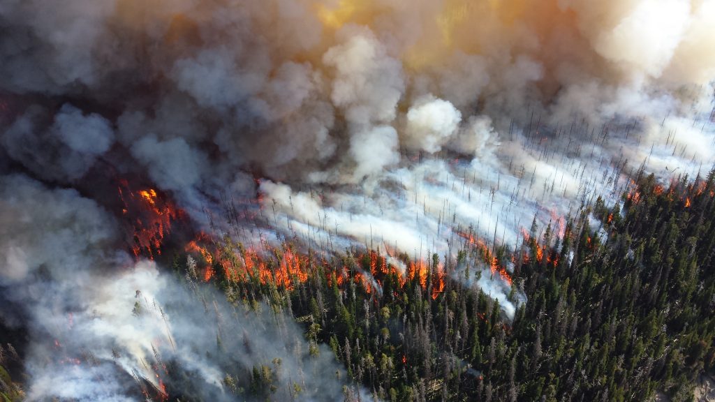
Agriculture is highly vulnerable to natural disasters such as floods, storms, and droughts. Satellite data allows for early detection and assessment of these events, giving farmers and policymakers time to prepare and mitigate potential losses. Post-disaster, satellites can provide valuable information for recovery efforts, such as mapping affected areas and estimating crop damage.
The Future of Satellite Agriculture
Advancements in satellite technology, such as miniaturized satellites and higher-resolution imaging, promise to make these tools even more accessible and impactful for farmers worldwide. Combined with artificial intelligence and machine learning, satellite data will continue to enhance decision-making processes in agriculture.
In conclusion, satellites are indispensable tools for modern agriculture. From precision farming to disaster management, their applications help ensure food security, improve sustainability, and support farmers in addressing the challenges of today’s agricultural landscape.


